
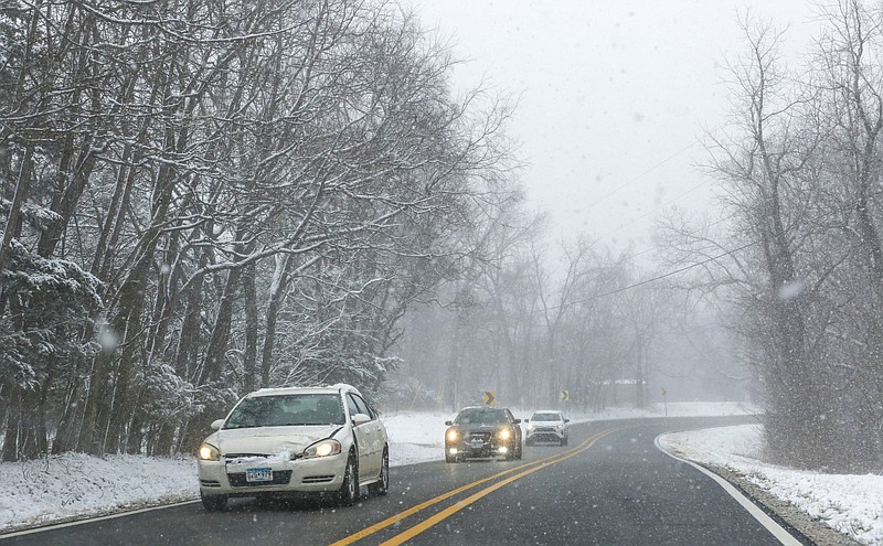
Northwest Arkansas residents will likely see wintry precipitation and freezing temperatures on their Wednesday afternoon commute, forecasters say.
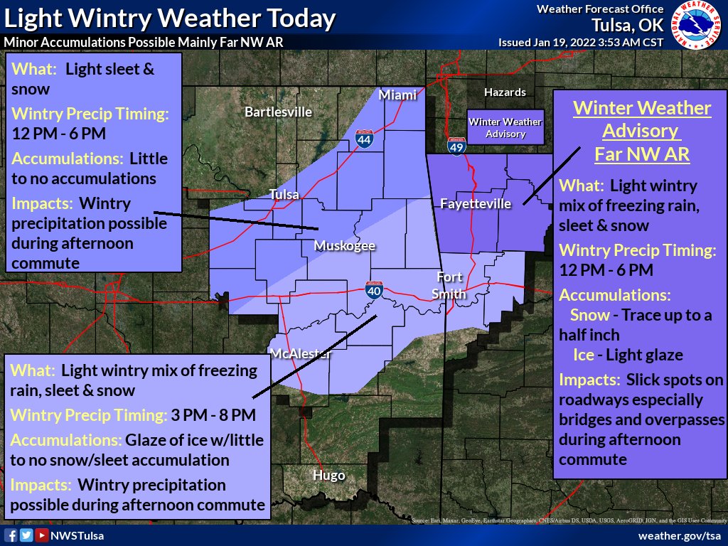
A cold front entering the area will bring a light wintry mix of freezing rain, sleet and snow between noon and 6 p.m., according to the National Weather Service.
Ice accumulation is expected to be limited to a couple hundredths of an inch and snow accumulation will be less than one inch, a Wednesday morning briefing from the weather service states.
Roads throughout the region, especially bridges and overpasses, may be slick as a result.
Winter weather advisories are in effect from noon to 6 p.m. for Benton, Washington, Carroll and Madison counties and from 3 p.m. to 6 p.m. for Boone, Newton, Marion, Searcy, and Baxter Counties, according to the weather service.
A high temperature of 47 degrees and a low of 13 is forecast for Wednesday in Fayetteville.
Temperatures are predicted to remain freezing, between 26 and 10 degrees, all day Thursday. Wind chill values Thursday morning may drop below zero, according to the service's website.
In Fort Smith, the precipitation is expected later Wednesday between 3 and 8 p.m. The wintry mix could impact roads in the River Valley, but little to no accumulation of snow and sleet is expected there.
 Northwest Arkansas residents will likely see wintry precipitation and freezing temperatures by the time of their Wednesday afternoon commute, forecasters say. A cold front entering the area will bring a light wintry mix of freezing rain, sleet and snow between noon and 6 p.m., leading to minor accumulations of snow and ice, according to the National Weather Service. (Courtesy photo/National Weather Service)
This story was originally published at 9:43 a.m.