Weak rotation leads to several funnel sightings near Decatur
March 20, 2024 at 4:00 a.m.
by
Mike Eckels/Special to the Eagle Observer
Mike Eckels/Special to the Eagle Observer
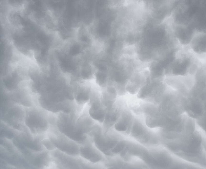
After an extremely dangerous supercell thunderstorm that produced several funnels moved through the area, a series of Mammatus clouds developed at the base of a cumulonimbus cloud as it passed over Decatur Thursday afternoon. Mammatus clouds form on the underside of the storm cloud and are formed by sinking air that gives them the look of pouches in the sky.
DECATUR -- It had been predicted for three days by local media outlets, the Weather Channel and National Weather Service forecast models. The possibility of strong supercell thunderstorms capable of producing heavy rain, golf ball or greater size hail, damaging winds and even a tornado was high for eastern Oklahoma...